|
|
|
|
|
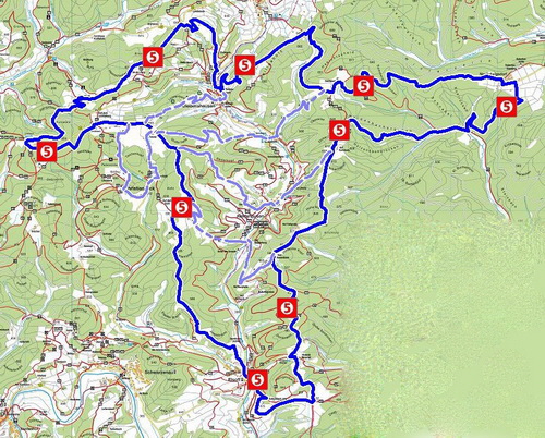
The Red Kite Ridgeway (in the map on the left with 5 km signs) leads only in Elsoff and Neuludwigsdorf directly through the village.
|
|
The remaining village centres
|
|
- Alertshausen
- Christianseck and
- Diedenshausen
|
|
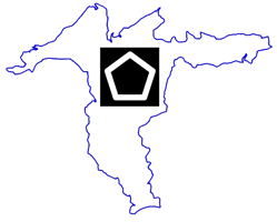
are reached via access routes.These local connections lead over existing footpaths and are marked with the red-yellow pentagon way sign: 
Information for finding the right local connections (Start/ Finish, Length, Maximum altitude difference and map extracts) can be found under the submenu items:
- Map North-West
- Map Middle-North
- Map Middle-South
|
|
|


